Paul Lorenz · 3 September 2026
Sensor Networks Track Shifting Usage Patterns on Pomerania's Beachside Routes
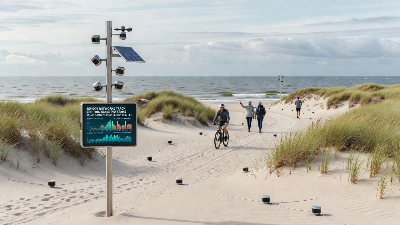
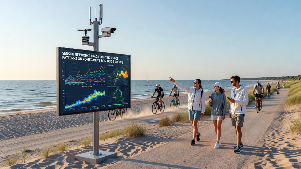
Deployment of sensor networks along Pomerania's beachside routes has generated detailed records of how visitor flows change throughout the year, and these systems combine infrared counters with motion detectors plus environmental probes to capture both human activity and surrounding conditions at multiple fixed points. Researchers from regional institutions began expanding coverage in 2024, and the networks now span more than 180 kilometers of shoreline paths that connect towns such as Gdańsk, Sopot, and Hel.
Network Infrastructure and Data Sources
Each sensor station records timestamps for passages, estimates group sizes through beam-break patterns, and logs air temperature, wind speed, and precipitation levels simultaneously, while data streams feed into centralized servers every fifteen minutes during peak seasons. Technicians calibrate the units quarterly to maintain accuracy above 94 percent, according to internal validation reports from the Pomeranian Coastal Monitoring Consortium. The setup allows analysts to correlate usage spikes with weather events or local events without relying on manual counts that often miss nighttime or off-path movement.
Power comes from solar panels paired with battery banks that sustain operation through winter storms, and maintenance crews visit remote nodes twice annually to replace components exposed to salt air. Since the initial pilot in 2023 the network has added acoustic sensors at select junctions to distinguish between bicycle traffic and foot traffic by analyzing wheel and step signatures, and this addition improved classification rates in mixed-use zones near urban beaches.
Usage Shifts Captured Through 2026
Analysis of records from 2024 through mid-2026 shows clear seasonal migration of peak activity from central beaches toward less developed stretches east of Łeba, and figures reveal a 27 percent rise in early-morning usage on weekdays compared with the same period three years earlier. Data collected in September 2026 is expected to clarify whether the trend continues after new signage and temporary closures redirect visitors away from erosion-prone sections near the Vistula Spit.
Daily totals fluctuate with temperature thresholds above 18 degrees Celsius, yet evening patterns remain steadier across temperature ranges, suggesting commuters and local residents contribute a stable baseline separate from tourist surges. Observers note that routes near ferry terminals register the sharpest weekend spikes, while inland connectors show steadier weekday traffic that aligns with school schedules in nearby municipalities.
Integration With Broader Coastal Studies
Teams cross-reference sensor outputs with satellite imagery from the Copernicus program and with periodic drone surveys that map path widening or vegetation trampling, and the combined datasets allow planners to identify segments where increased foot traffic coincides with measurable dune retreat. Reports compiled by the European Environment Agency highlight similar sensor applications along the Baltic coastline of Lithuania, where comparable networks have informed seasonal access restrictions that reduced habitat disturbance by documented percentages.
Local authorities in Pomerania have begun using the same methodology to schedule maintenance, and the data shows that routes experiencing over 1,200 daily passages during July require resurfacing intervals shortened by roughly six weeks compared with lower-traffic segments. Coordination meetings scheduled for September 2026 will review these thresholds and consider adjustments based on the most recent full-season statistics.
Technical Challenges and Calibration Efforts
High humidity and occasional flooding near river mouths create occasional signal drift in older infrared units, prompting engineers to install protective housings and to run parallel optical verification at ten percent of stations. A study published by the Polish Academy of Sciences in 2025 documented that recalibration after major storm events restores accuracy within 48 hours when crews follow standardized protocols, and the same paper compared results against manual audits conducted over 14-day windows at four test sites.
Wireless transmission relies on a mix of LoRaWAN and 4G fallback links, which together maintain greater than 98 percent uptime even when cellular towers experience outages during regional festivals. Battery performance logs indicate that the solar arrays recover full charge within three days under average September daylight conditions, supporting continuous monitoring without external power draws.
Conclusion
Continued expansion of the sensor grid through 2027 will add coverage along secondary trails that connect inland villages to the main coastal corridor, and the resulting records are expected to refine predictive models that forecast daily visitor loads based on weather forecasts and calendar events. Public summaries of aggregated findings appear on regional portals, and researchers continue to publish peer-reviewed analyses that place Pomeranian observations alongside data collected at comparable Baltic and North Sea sites.