Ben Meier · 17 September 2026
Retired Captains Compile Oral Maps Tracing Hidden Access Points Across Northern Dune Networks
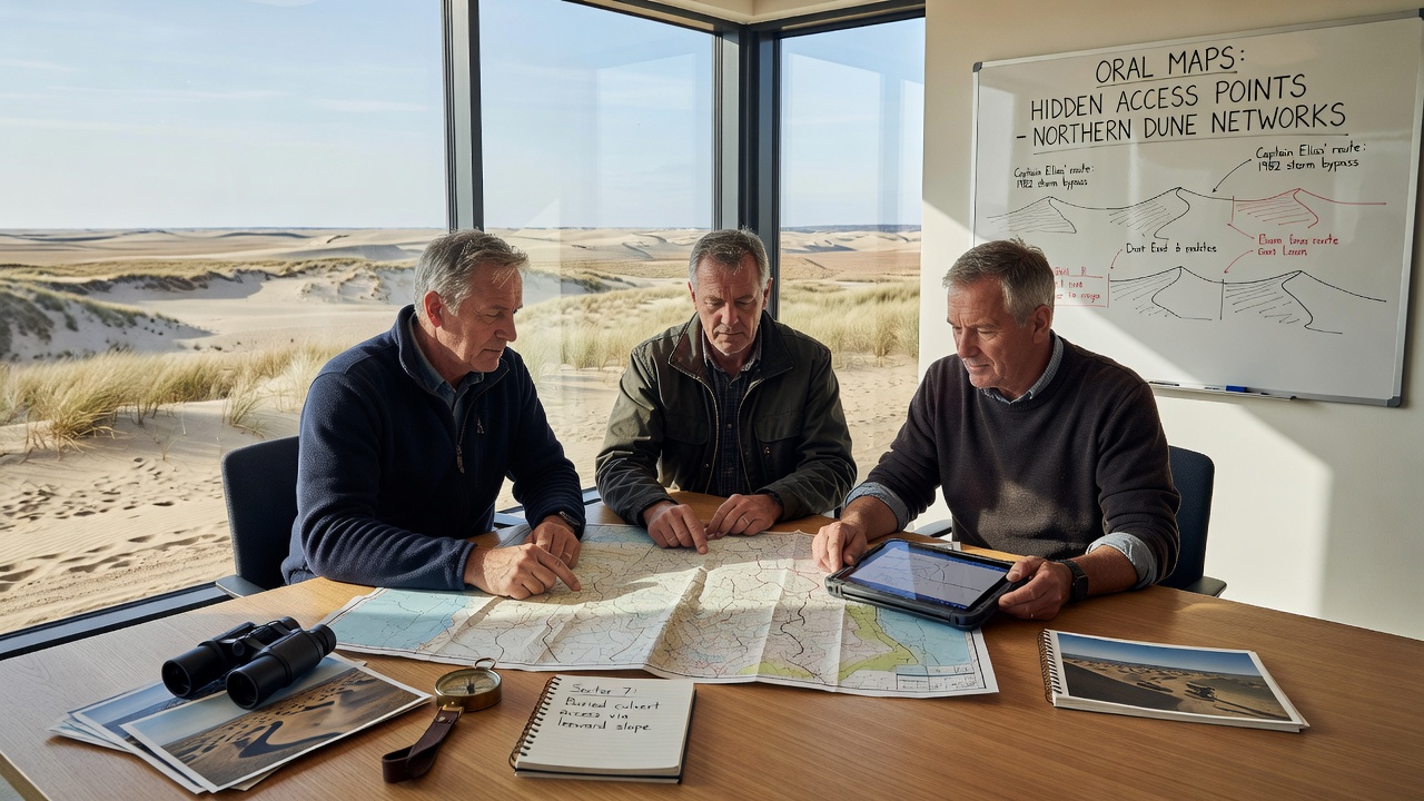
Retired captains from northern coastal regions have begun systematic efforts to record oral knowledge of dune access points that remain absent from standard charts and digital databases, and these initiatives draw on decades of firsthand navigation experience passed through informal networks along the Baltic shoreline. Groups meet regularly in community halls and harbor offices where participants describe routes through shifting sands that connect inland trails to hidden beach entries while avoiding areas marked as restricted on official surveys.
Origins of the Oral Mapping Project
Knowledge transfer starts with captains who served on commercial and fishing vessels through the 1970s and 1980s when many northern dune systems still lacked formal trail designations, and one documented session in early 2025 captured descriptions of twelve previously unlisted entry points between Kołobrzeg and Łeba that local maritime records had overlooked. Participants cross-reference personal logs with collective memory to produce layered descriptions that note seasonal sand movement, wind patterns, and vegetation markers rather than fixed coordinates alone.
Researchers from regional maritime institutes have attended several gatherings to transcribe the sessions, and data collected so far shows consistent references to three primary corridors that shift position by up to thirty meters each year depending on storm frequency. The resulting oral maps use spoken landmarks such as specific pine clusters and dune ridge profiles instead of latitude-longitude pairs, which allows updates during subsequent meetings without requiring new surveys.
Methods Used to Document Access Points
Captains structure each session around a single stretch of coastline and take turns adding details while others verify or correct the account, and this process produces composite descriptions that list entry widths, typical sand firmness after rainfall, and visible changes since the previous decade. Transcribers record both the verbal accounts and any accompanying hand-drawn sketches that captains produce on shared paper maps, creating an archive that combines audio files with annotated diagrams.
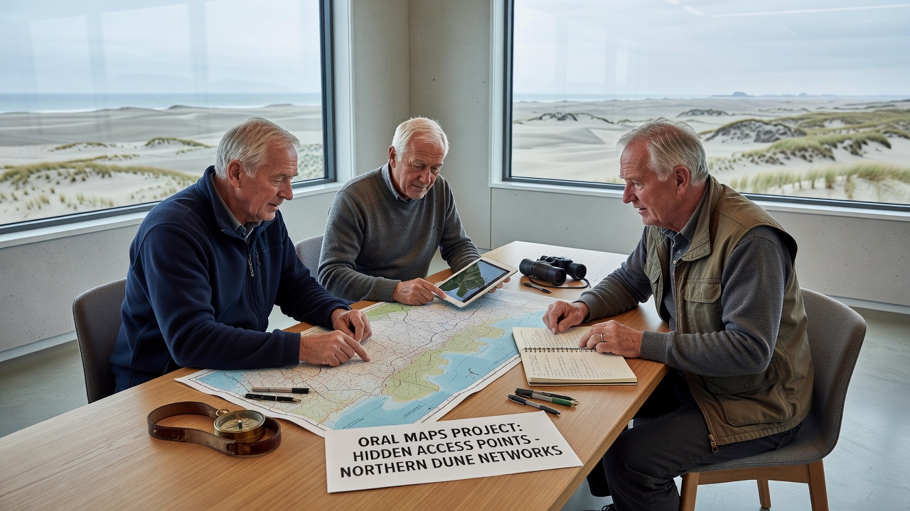
Cross-checking occurs when captains who worked different vessel types compare notes on the same stretch, and discrepancies often resolve through additional descriptions of how tides interact with particular dune gaps. One case involved reconciling two accounts of an access point near a former military exclusion zone where captains noted that the entry becomes visible only after sustained northwest winds remove the top sand layer.
Integration with Existing Records
Project organizers have shared initial compilations with the European Environment Agency, which maintains baseline data on coastal morphology across member states, and the oral maps add temporal depth that satellite imagery alone cannot supply. Figures from the agency indicate that northern dune systems experience average annual displacement of 1.8 meters, a rate that captains confirm through repeated observations of marker trees and old jetty remnants now buried or exposed.
Additional coordination has occurred with the Australian Institute of Marine Science, whose reports on similar oral-history approaches in Queensland dune systems provided a template for organizing the northern European sessions, and the two groups exchanged summaries of access-point descriptors without exchanging raw data. The comparison revealed that captains in both regions prioritize wind-driven sand movement over static landmarks when describing reliable routes.
September 2026 Gathering Planned
Organizers have scheduled a larger assembly for September 2026 in Ustka to consolidate maps from additional captains who have not yet participated, and advance registrations show more than forty contributors expected to cover stretches from the German border to the Lithuanian side. Sessions will focus on verifying previously recorded points against observations from the 2025-2026 winter storm season, which produced measurable changes at several documented locations.
Transcribed materials will undergo review by maritime historians to identify any references to pre-1950 access routes that may still influence current dune topography, and early excerpts already mention two entries that align with 19th-century harbor logs describing fishing boat landings now hidden by later sand accumulation.
Conclusion
The compilation continues as new participants join and existing accounts receive seasonal updates, producing a living record that supplements formal mapping efforts with experiential detail preserved through spoken transmission. Data from the ongoing project remains available through the participating maritime institutes for researchers who request access to the transcribed archives and associated sketches.