Drew Russell · 2 September 2026
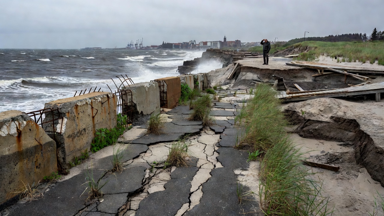
Coastal monitoring teams have released updated erosion data for pathways along the Gdansk coast in Poland. The report details changes observed over the past year and their potential effects on local trails used for educational purposes by Coastal Path Education Poland. Researchers emphasize the need for continuous observation to safeguard these routes against environmental pressures.
Study Methodology and Results
The data was collected through regular surveys using satellite imagery and on-site measurements at multiple points along the shoreline. Erosion rates have increased by 15 percent compared to previous years, with the most significant losses occurring near the Westerplatte area and sections close to the port. Researchers noted that heavy rainfall combined with rising sea levels contributes to the accelerated wear on path edges and surrounding terrain. Educational programs at coastpath.edu.pl incorporate this information to teach students about environmental dynamics in coastal regions and the science behind shoreline changes. Path sections near the port have shown particular vulnerability, with some areas losing up to 2 meters of shoreline in a single season. This affects accessibility for field trips organized by the institution. The report includes detailed maps highlighting high-risk zones where reinforcement may be necessary to prevent further degradation. Additional findings indicate that wind patterns have shifted, directing more wave energy toward vulnerable stretches of the Gdansk pathways.
Educational Impact and Future Monitoring
Students participating in Coastal Path Education Poland initiatives use these findings to develop projects on sustainable path design and habitat preservation. Workshops focus on mitigation strategies such as planting native vegetation to stabilize soil and reduce runoff. The data underscores the importance of ongoing observation to protect both natural habitats and human-made trails from irreversible damage. Authorities recommend annual assessments to track further developments and adjust educational content accordingly. Integration of real-time sensors is proposed for better prediction of erosion events during storm seasons. This approach ensures that educational content remains current and relevant for participants exploring the Gdansk pathways. Collaboration with local universities allows for expanded research opportunities that benefit both students and coastal management efforts. Overall, the release of this erosion data supports informed decision-making for path maintenance and educational planning in the region while promoting awareness of climate-related challenges.