Ben Meier · 15 October 2026
Citizen Science Efforts Uncover Hidden Dune Migration Patterns Near Hel Peninsula
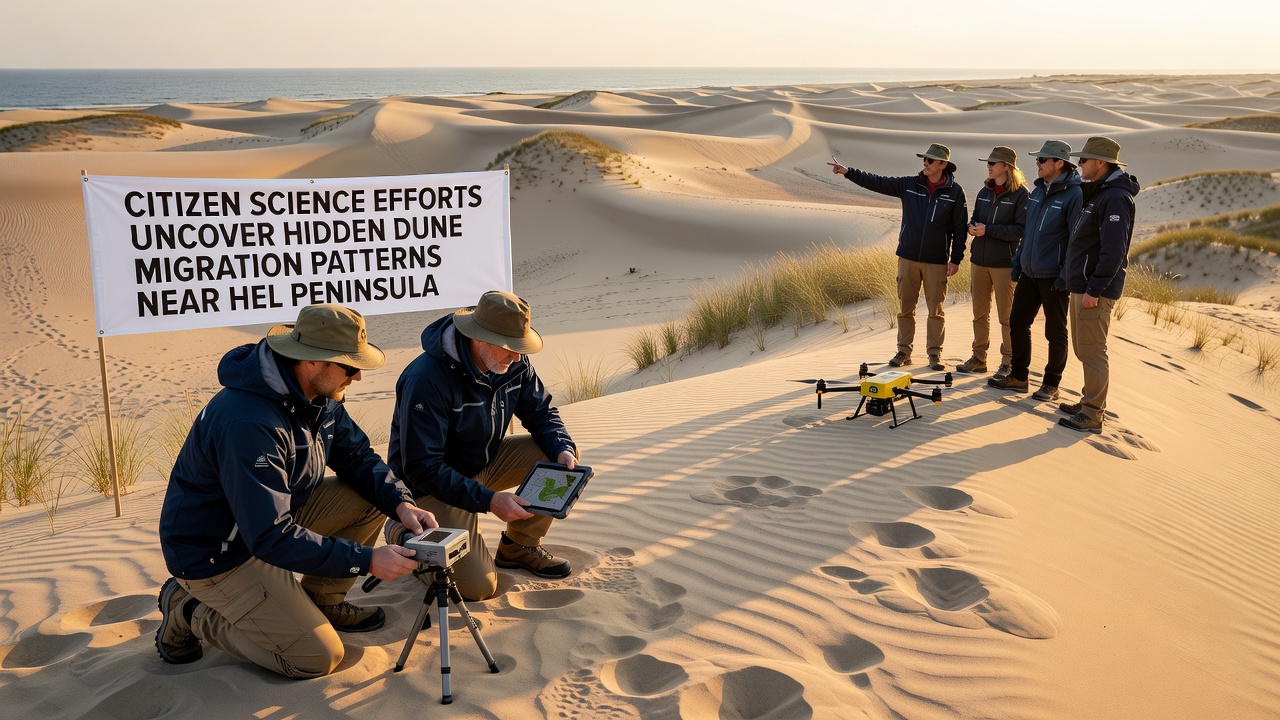
Volunteers across northern Poland have contributed thousands of field observations since early 2025, revealing subtle dune movements near the Hel Peninsula that standard monitoring programs had previously missed. These efforts combine smartphone photography, GPS tagging, and simple measurement kits to track sand displacement over months rather than years, and the accumulated records now form one of the densest local datasets on Baltic coastal dynamics.
Project Origins and Participation Growth
Local environmental groups launched the initiative in spring 2025 after noticing gaps in official surveys that relied mainly on annual aerial flights. Participants receive basic training through regional workshops, then upload time-stamped images and coordinates to a shared platform. By October 2026 more than 1,200 individuals had submitted records, covering stretches from Jurata to Chałupy that had received limited prior attention.
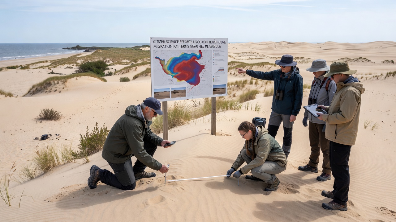
Data collection focuses on fixed reference points such as old fence posts and concrete markers left from earlier stabilization projects. Volunteers measure the distance from these anchors to the dune toe and crest, then photograph the same view each month. The resulting sequences show incremental shifts that accumulate into measurable migration, sometimes exceeding two meters over a single winter season.
Methods and Data Validation
Participants follow standardized protocols that include compass bearings and scale references placed in each frame. Project coordinators cross-check submissions against satellite scenes from the Copernicus program and discard entries that lack clear landmarks. This hybrid approach filters noise while preserving the fine-scale detail that orbital imagery cannot resolve.
One team working near the village of Kuźnica documented a previously unmapped secondary ridge forming behind the primary foredune line. Their repeated visits captured the ridge advancing eastward at roughly 0.8 meters per month during the 2025-2026 autumn period, a pattern confirmed later by ground-penetrating radar surveys conducted by the Polish Geological Institute.
Key Findings on Migration Patterns
The compiled records indicate that dunes near the peninsula tip experience greater lateral movement than those farther inland, likely because of stronger wind exposure and reduced vegetation cover. Several sites show sand being transported from the beach face onto older stabilized ridges, gradually burying marram grass patches that had remained unchanged for decades according to local forestry maps.
Researchers at Gdańsk University have begun integrating the volunteer dataset with wind records from the nearby Hel meteorological station. Preliminary analysis links episodes of rapid crest migration to specific storm events in late 2025, when sustained winds from the northeast exceeded 12 meters per second for multiple days. These correlations help explain why certain stretches migrate faster than others despite similar sediment supply.
Integration with Broader Monitoring Networks
Project organizers now share anonymized summaries with the European Environment Agency, which incorporates the findings into regional coastal assessments covering the southern Baltic. The agency’s models gain resolution in areas where traditional monitoring grids remain sparse, and the citizen observations provide ground truth that refines satellite-based change detection algorithms.
Additional partnerships have formed with the Institute of Meteorology and Water Management in Warsaw, which supplies weather data for correlation studies. In return, the institute receives near-real-time updates on dune toe positions that can inform early-warning systems for infrastructure located within 200 meters of the current shoreline.
Conclusion
The Hel Peninsula citizen science network demonstrates how distributed observations can fill critical gaps in understanding dune dynamics along the Polish Baltic coast. Continued participation through 2027 is expected to extend the temporal depth of the dataset, allowing detection of longer-term trends that single-season studies cannot capture. The approach provides a replicable model for other coastal regions seeking cost-effective monitoring solutions while engaging local communities in environmental data collection.